New hydrographic survey solutions with autonomous vehicles adapted to Arctic regions
This project aims to develop new methods for the estimation of hydrographic errors and the identification of their sources, for automatic calibration and for morphological analysis of the seabed. A new methodology will be proposed for the production in real time of a mosaic of sonar images allowing the autonomous vehicle to reposition itself and take into account the spatial context in which it operates.
Ensuring that navigation and acoustic data collection are more reliable
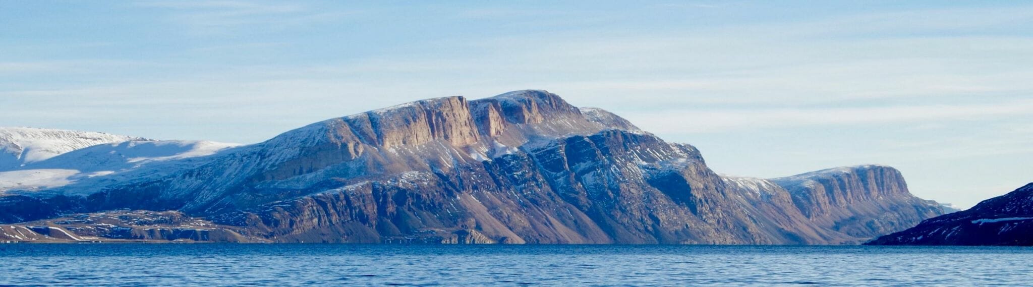
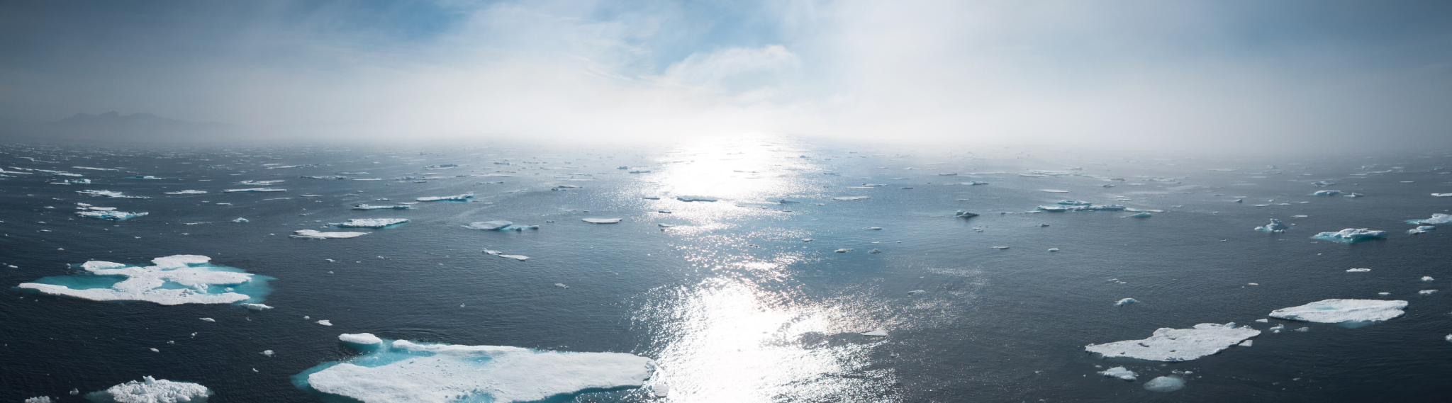
Although 71% of the earth’s surface is covered with water, many areas have not yet been mapped (e.g. the Arctic region and lakes in the provinces of Quebec). One of the avenues considered for the intensification of the production of hydrographic data is the use of autonomous survey vehicles.
However, the expertise required to conduct a hydrographic survey has not yet been translated into automatic algorithms that can operate in a robust and unsupervised manner.
Also, autonomous vehicle operation in the Arctic zone poses several challenges: the presence of a layer of ice and the water temperature which induce positioning errors of sounding points and noise in the data; very high uncertainty of inertial navigation; scarcity of opportunities to secure GNSS positions beneath the ice.
This 3-year project (2017-2020) aims to develop new methods for the estimation of hydrographic errors and the identification of their sources, for automatic calibration and morphological analysis of the seabed. A new methodology will be proposed for the production in real time of a mosaic of sonar images allowing the autonomous vehicle to reposition itself and take into account the spatial context in which it operates.
This multidisciplinary approach and the results which will ensue from it will provide means of implementing autonomous vehicles for hydrographic purposes. They will also contribute to enriching current knowledge and cartographies of the Canadian Arctic ocean floor. Our work will therefore be instrumental in supporting the maritime traffic required to support resource exploitation programs in the North and the development of the maritime economy in local communities.
Partner Organization
![]()
IID Principal Investigator of this project

Project Team
Principal Investigator: Sylvie Daniel (Université Laval)
Co-Investigators: Patrick Lajeunesse (INRS-ETE) and Christian Larouche (Université Laval)
Collaborators: Roger Côté (Pêches et Océans Canada), Ralf Bachmayer (U. Memorial de Terre Neuve), Alain Croteau (Institut de recherche d’Hydro-Québec) and Nicolas Seube, (Centre interdisciplinaire de développement de la cartographie des océans).
Project Funding: 2018-2020
Let’s keep in touch!
Would you like to be informed about IID news and activities? Subscribe now to our monthly newsletter.